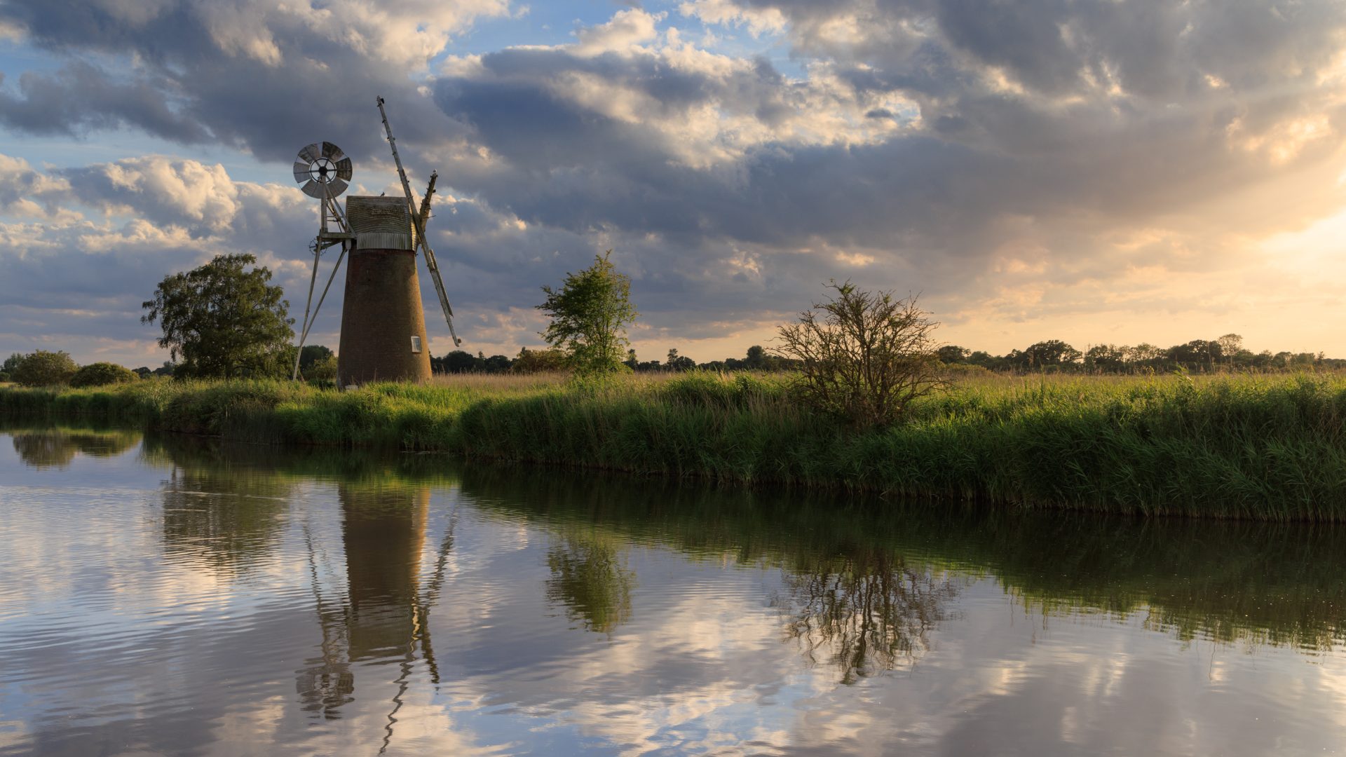
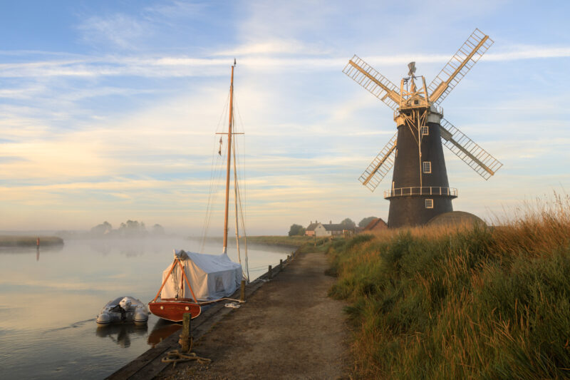
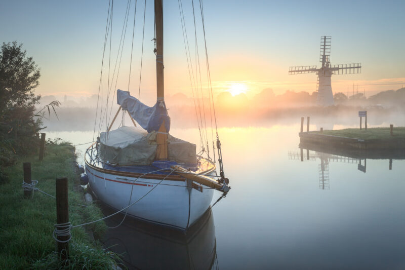
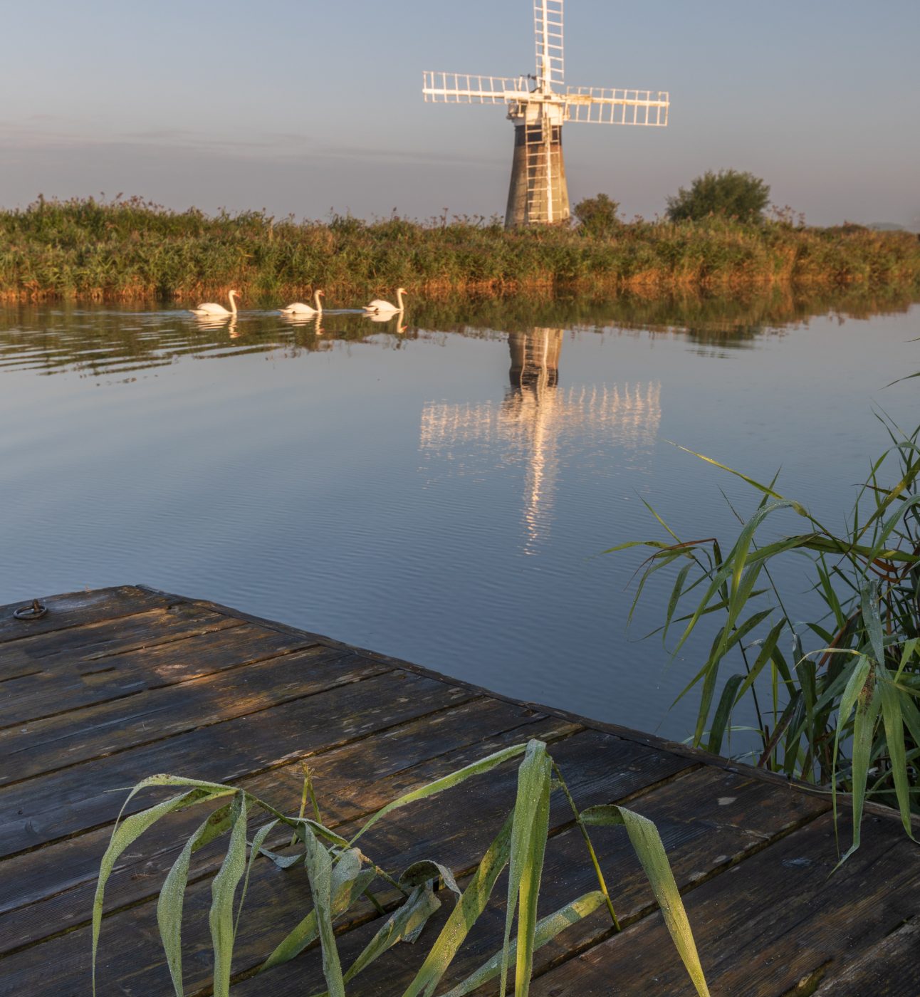
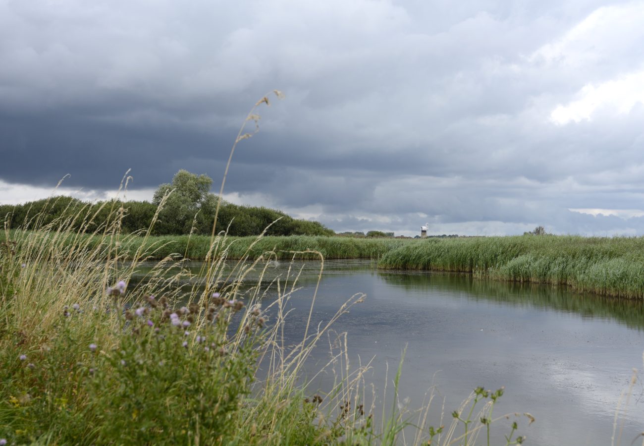
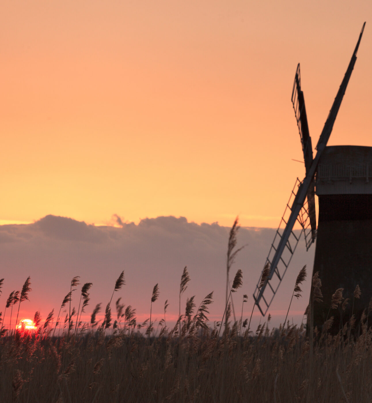
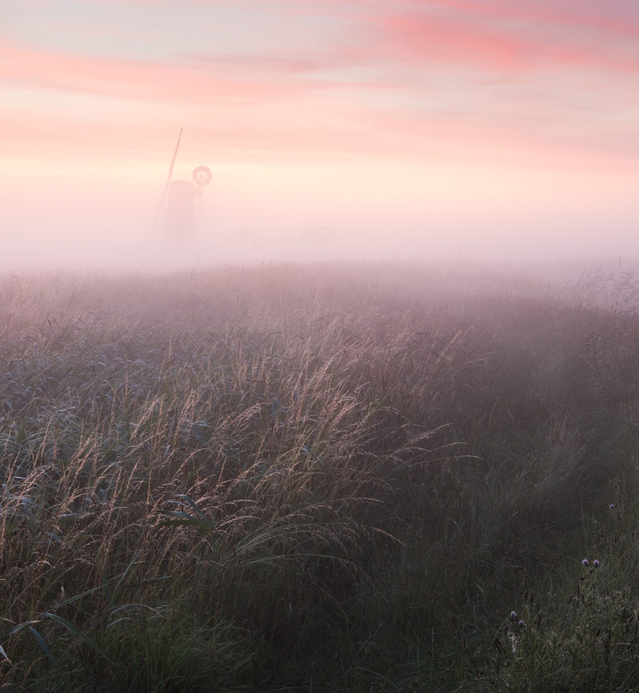
Turf Fen Windmill

The Broads National Park

Designated on 15 March 1988

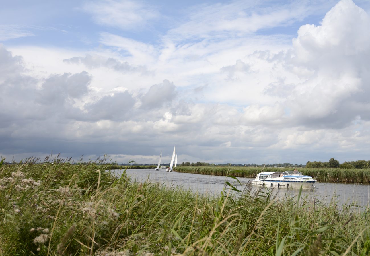
The Broads are a living contrast – created by centuries of industry, yet one of the UK’s most important wildlife habitats, the last home of some rare species. In some lights, sparkling and beautiful, in others dark and dramatic. In its twisting waterways, you’ll find a gentle life, where tall-sailed wherries still drift along the channels, butterflies flit among the reedbanks and old mills keep a creaking watch over the land. But you’ll also find great food, striking grandeur and wide stretches of sandy beach.

In this guide, we’ll look at some great ways to explore the Broads, from quiet boat trips to boardwalks that loop around lakes, fine country houses, working pieces of history and some great spots for sampling the area’s bounteous local produce.


Walking

Barton Broad Boardwalk (NORTH)

Start/endpoints: Barton Broad Boardwalk car park, Bethesda

Barton Broad Boardwalk (NORTH)

Start/endpoints: Barton Broad Boardwalk car park, Bethesda

Distance: 3mi; elevation: 127ft   difficulty rating: 1/5 

Start/endpoints: Barton Broad Boardwalk car park, Bethesda

The hardest part of this short stroll is saying the name three times really quickly, so avoid that and you should be in for a gentle and pleasant day. The scenic route through the countryside that leads to the wide wooden walkways built by the Broads Authority as part of the Clear Water 2000 project and making the Broad accessible on foot and by those with limited mobility. After you’ve trodden the boards, head past the old marshal’s hut and check out St Michael’s Church, with architecture that spans the centuries and information boards that provide a fascinating tour of local history.

St Benets Abbey Circular Walk (NORTH)

Start/endpoints: How Hill car park

St Benets Abbey Circular Walk (NORTH)

Start/endpoints: How Hill car park

Distance: 7mi; elevation: N/a difficulty rating: 2/5 

Start/endpoints: How Hill car park

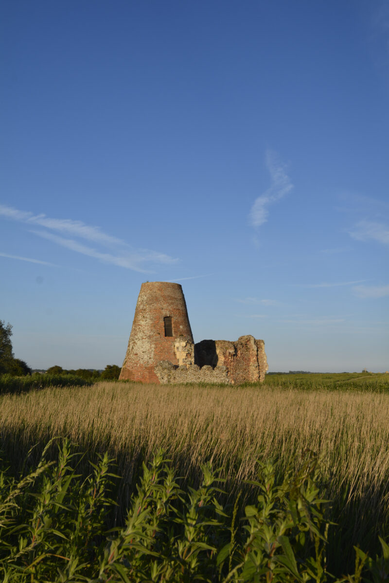
A simple circular offering picturesque views along the River Ant and River Bure, with detours off to the thatched houses and tea rooms of Ludham,where you can also explore St Catherine’s Church. The highlight, however, is most certainly the abbey itself, which was the only monastery to stand open in defiance during Henry VIII’s dissolution rampage. The ruins of the gatehouse had a mill built on them in the 1700s, adding a curious cone to the more familiar abbey arches. There’s a wooden cross that marks where the altar once stood and, while the monks all left in the mid 1500s, services are still held here on the first Sunday in August every year. Once you’ve nosed around for a while, you can wander over to another place of quiet worship, The Dog at Ludham Bridge, for lunch and a pint.

Whitlingham Great Broad (CENTRAL)

Start/endpoints: Whitlingham Country park

Whitlingham Great Broad (CENTRAL)

Start/endpoints: Whitlingham Country park

Distance: 3mi; elevation: 50ft; difficulty rating: 1/5 

Start/endpoints: Whitlingham Country park

This circular walk is wheelchair accessible and, once again with this being the Broads, mostly flat, making it suitable for people of all fitness levels and ages. It’s a popular route with runners and cyclists, making it more the sort of thing you start the day with rather than a hike you prep for. Being close to Norwich city centre, it ties in easily to a varied day of visiting the cathedral and shopping, or makes a pleasant final morning before you head home. If you time your visit right, you can witness the beautiful colours of sunrise on the water. 

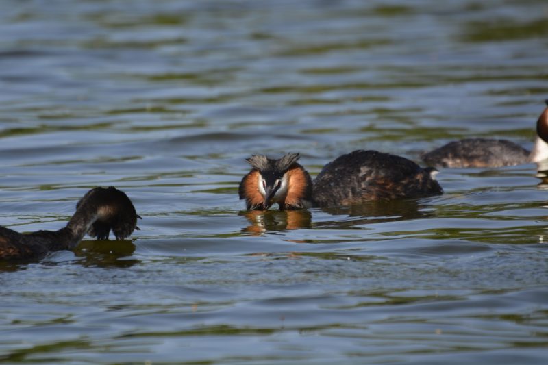
Great Crested Grebe

Wherryman’s Way (CENTRAL)

Start/endpoints: Multiple

Great Crested Grebe

Wherryman’s Way (CENTRAL)

Start/endpoints: Multiple

Distance: 38mi; elevation: varied; difficulty rating: 5/5 

Start/endpoints: Multiple

The Wherryman’s Way runs as close as is now possible to the old route that the wherries, Norfolk’s iconic single-sailed boats, took when shipping goods from the coast into Norwich. There are many loops and sections that can be taken on individually if you don’t feel like making the whole march, but a favourite is the eastern end, from Great Yarmouth to Reedham. You walk along the north bank of the River Yare, cross at the Reedham chain ferry and come up the other side, giving you different views of the landscape to a standard out-and-back.

Bigod’s Way (SOUTH)

Start/endpoints: Bigod’s Castle

Bigod’s Way (SOUTH)

Start/endpoints: Bigod’s Castle

Distance: 10mi; elevation: N/a ; difficulty rating: 3/5 

Start/endpoints: Bigod’s Castle

This loop around Bungay is named for a local noble family, not after the expletives of those who walk it. Roger Bigod was one of many who visited England with their friend William in the mid 1000s and decided not to return home, instead taking advantage of some recently available territory to become the first Earl of Norfolk. The current castle is built on the site of many previous (and apparently ineffective) fortresses and from there the footpaths take you through Areas of Outstanding Natural Beauty which are home to many rare species. It’s another gentle wander that can be added to or cut short in various places, depending on how much of the local land you feel like conquering.

Other things to do

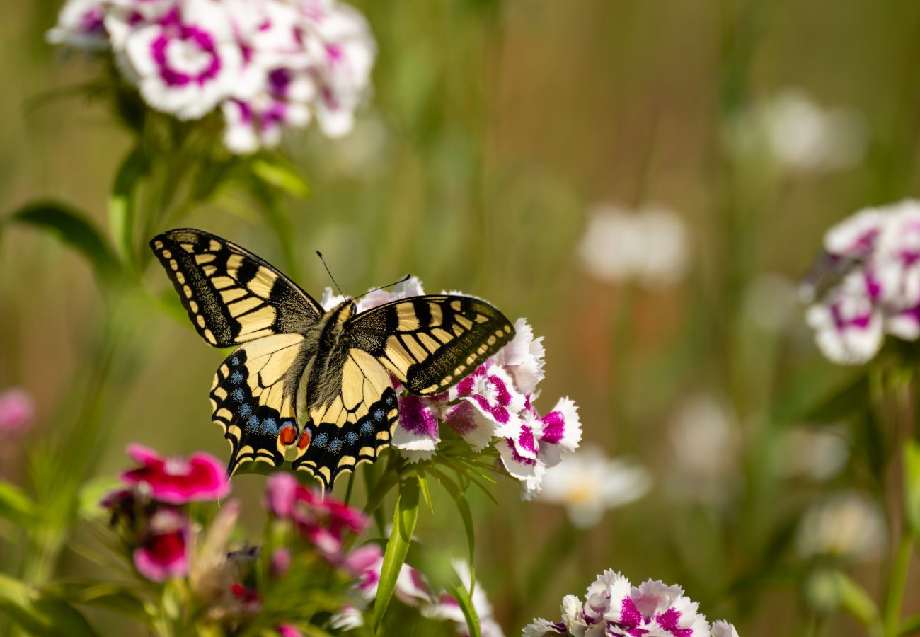
This little wetland is one of the primary breeding grounds of the Swallowtail butterfly, England’s largest resident species, found only in the Norfolk Broads. They rely on the reserve’s native milk parsley, which you’ll see in amongst the wildflowers and orchids that thrive on the banks. Listen out for bitterns, cuckoos and a host of other wildlife, all very much at home in a place that rewards stillness and patience.
If you’re done with walking round the broads, take to the water for a change of perspective. At Hickling Broad, you can hire a canoe or paddleboard to get closer to nature and drift along for a while before washing up at one of the great local pubs nearby. A similar service is on offer at Rollesby, from the Boathouse Pub, which certainly makes your choice of where to eat once you’ve finished paddling pretty easy.
If even paddling yourself feels too much like hard work, take an Electric Eel boat tour. The quiet craft sneaks around the dykes and waterways, launching from How Hill on a guided wildlife tour that’s renowned for its stealthy sightings. Trips last just under an hour and will help you explore the Broads without disturbing the residents.
Over 130 acres of ancient woodland and water gardens, you’ll find something to do no matter what you’re up for. There are 3.5 miles of marked trails through the woods, boat trips on the private broad and, in spring, incredible sprays of candelabra primulas, brought back to the estate by Lord Fairhaven from his travels in the Himalayas. There’s a cafe and a programme of events from Dawn Chorus walks to Bat Nights, as well as the chance to try their wild sauna.
The bonus of Norfolk being so flat is that cycling around the area couldn’t be simpler or more pleasant. Cycle from Norwich via Whitlingham Lane into open countryside, passing riverside paths and quiet lanes toward Surlingham. If you’re feeling even more adventurous why not take on the whole Weavers Way which connects the coast with wetlands and historic towns over 61 miles. 
While the boundaries of the Broads don’t take in the famous seal-friendly curve at Blakeney on Norfolk’s north coast, Horsey and Winterton Marshes are also favourite haul out sites for the graceful sea creatures who become lolloping sausages when they hit land. The dunes, and a coastline that features shingle, waving grass and pale sand make for a striking scenic change from the inner Broads as well.
One of the Broads’ most distinctive experiences and a once-in-a-life time opportunity for many is sailing on a Norfolk Wherry, a traditional cargo vessel with a large black sail once used for transporting goods. The Museum of the Broads occasionally hosts sailings and demonstrations, whilst the Wherry Yacht Charter Charitable Trust operates beautifully restored wherries such as for day sails or multi-day residential trips.
Despite sounding like a Grand National Winner named by a five year-old, this is an iconic Norfolk spot, where you can climb up into one of the old mills and survey the landscape. Struck by lightning in 1943, it was lovingly restored in 2018 and now turns its sails once again. Complement your visit with a trip to the Wind Energy Museum to understand how wind has shaped the region; from drainage and milling to modern renewable energy.
Play video

Discover the Broads

Take a visual journey through the Broads, created by Joseph Harrington www.jhfilmproduction.co.uk

DID YOU KNOW?
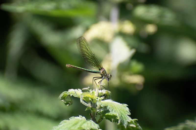
A quarter of resident species in the Broads are internationally protected, including the Norfolk Hawker dragonfly and the Swallowtail butterfly, only found in the park.

Swallowtail Butterfly © Martin Tosh

DID YOU KNOW?
The Broads is not a natural landscape. While many National Parks have been subtly shaped and styled by industry, the Broads are the result of medieval peat digging, which was a staple of the region for 200 years. The channels it left steadily flooded, creating the waterways we see today. This was only proven in the 60s after work by the botanist and ecologist, Joyce Lambert.

Swallowtail Butterfly © Martin Tosh

A quick history lesson

The Broads are a powerful example of humankind’s ability to shape the land they live on and adapt to the changes we ourselves bring about. The area was once covered in woodland, which was stripped for fuel and building materials over centuries. When the trees were gone, peat digging on the now-exposed land boomed. Over about 200 years, enough peat was cut that the landscape was permanently reshaped and, as the work sites flooded, the waterways and lakes we now know as The Broads were formed. Not to be deterred, locals switched to harvesting the reeds that grew along the banks for thatch then later harnessed the power of the wind to restore some of the marshes to farmland. In terms of National Park status, the Broads is very young, only adopting the term in 2015, although the same principles of conservation and enjoyment had been upheld by the Broads Authority (by another name) since 1978. Crucially, they also have another cherished responsibility, preserving navigation of the Broads as a working waterway and thus maintaining yet another thing that makes the Broads a unique fusion of industry and nature.

DID YOU KNOW?
The Broads are one of the driest places in the UK! While the waterways run for more than 200km, average rainfall is 400mm less than the national average.

Swallowtail Butterfly © Martin Tosh

Planning your visit

The obvious main entry point to the Broads is obviously the city of Norwich, well served by train lines, bus routes and Delia Smith. Coming from the North, it’s most likely you’ll change at Peterborough but go through Norwich to get into the park proper.. Decent bus services throughout the Broads mean it’s easy to extend walks and get transport home without having to retrace your steps. Greater Anglia currently offer a Wherry Line Ranger ticket, which allows unlimited train travel for a day between Norwich, Great Yarmouth and Lowestoft.
The Broads is an incredibly important habitat for many species and, as such, lots of areas, such as seal breeding spots or ground nesting sites, are sometimes off limits or restricted, especially when it comes to dogs. Remember to check any walks or excursions you’re planning for seasonal variation on accessibility.
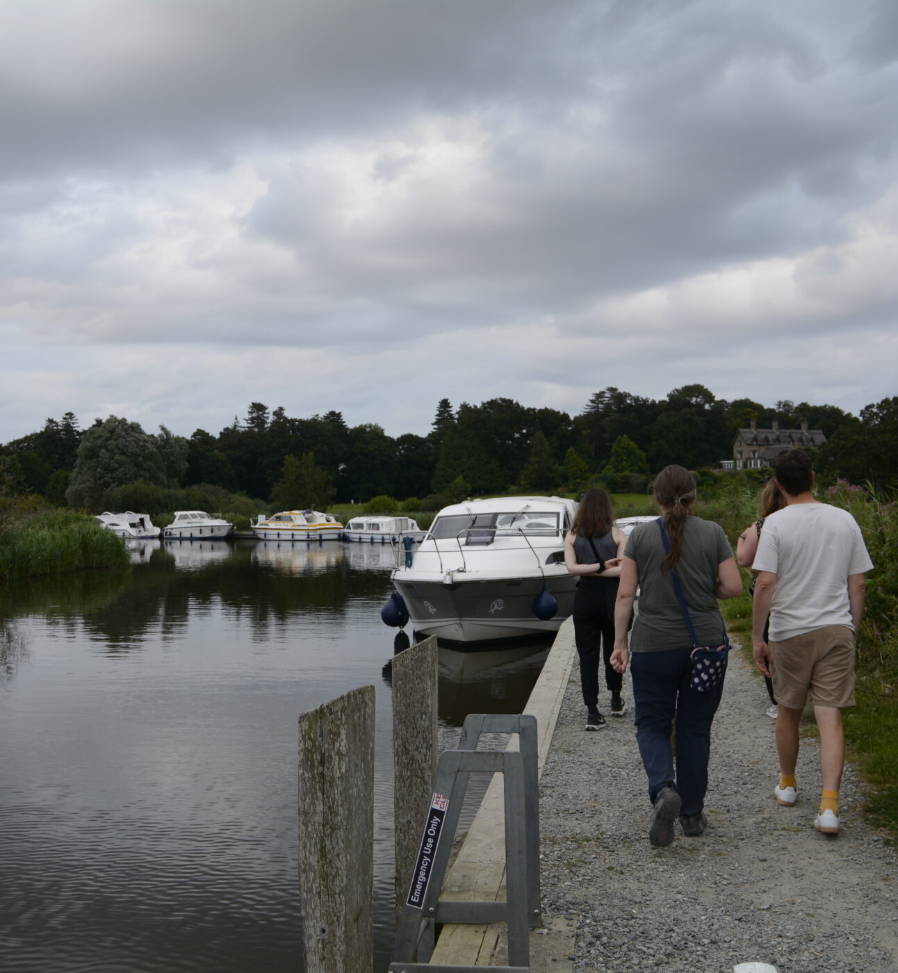
No licence or qualification is needed to hire certain boats on the Broads. The rivers are calm and easily navigable, plus all companies will give you a full safety briefing before you go out. That being said, you should still take all proper precautions when out on the water.

Back to all National Parks


Main image: © Justin Minns