Northumberland National Park

Designated 6 April 1956

A sparsely populated wilderness, a place of border wars and struggle, yet home to the largest outdoor art experience in the UK and a striking observatory, Northumberland National Park is a place that richly rewards the time you dedicate to it. Climb its windblown peaks, discover its wooded valleys and stand on the wall that once drew a line between civilisation and barbarism, although which side was which you can debate for yourself.

In this guide, we pick out some testing hikes along with some riverside strolls and a time-saving ferry, find fabulous food, tell you where best to marvel at the park’s Dark Sky status and discover how tragedy almost literally became the sycamore seeds of hope.


walking

Walltown Crags & Hadrian's Wall (SOUTH)

Start/endpoints: Walltown Visitor Centre

Walltown Crags & Hadrian's Wall (SOUTH)

Start/endpoints: Walltown Visitor Centre

Distance: 2 mi, elevation: 300ft, difficulty rating: 1/5

Start/endpoints: Walltown Visitor Centre

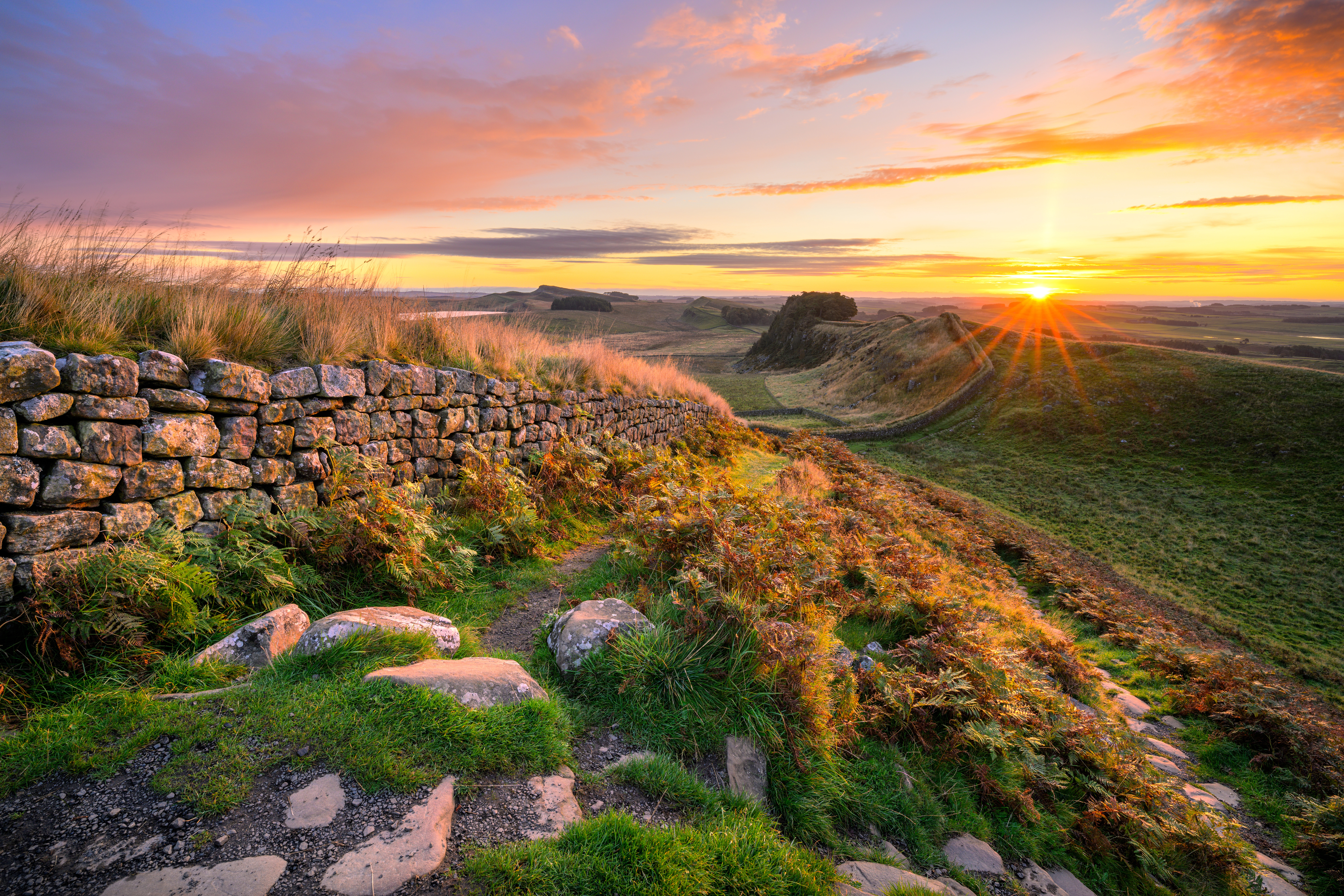
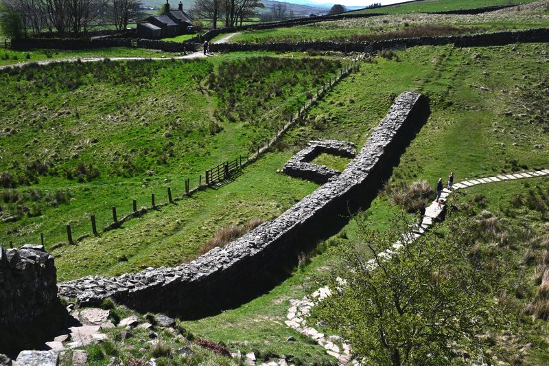
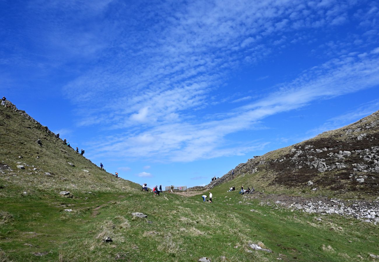
If you’re in the south of Northumberland National Park, you’ll almost certainly make a stop at Hadrian’s Wall, the northernmost frontier of the Roman Empire, aside from the roughly twenty years when Antoninus built his own doomed wall between the Firth of Clyde and the Firth of Forth. A walk up Walltown Crags helps bring home what a vast undertaking and imposing statement Hadrian’s Wall must have been. The section that snakes along the top of the cliffs is one of the best preserved of the whole length and you can almost feel your gaze turning uneasily to the north, as you listen for the sounds of baleful barbarians approaching. It’s not a challenging route, so you’ll have plenty of time to stop in at the Roman Army Museum, then retreat to nearby Haltwhistle for lunch.

Hareshaw Linn in Northumberland

Hareshaw Linn Waterfall Walk (SOUTH)

Start/endpoints: Walltown Visitor Centre

Hareshaw Linn in Northumberland

Hareshaw Linn Waterfall Walk (SOUTH)

Start/endpoints: Walltown Visitor Centre

Distance: 3 mi, elevation: 350ft, difficulty rating: 2/5

Start/endpoints: Walltown Visitor Centre

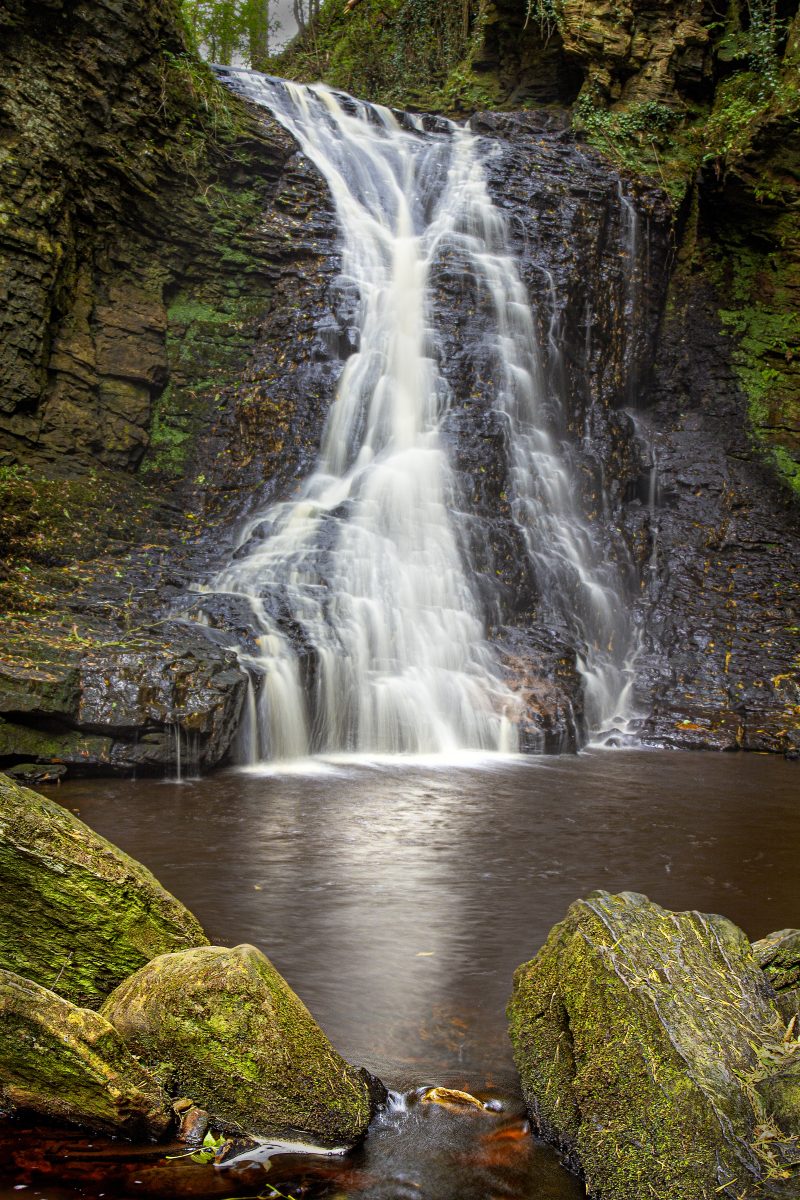
Embrace your inner billy goat and cross six old bridges as you wind through the woods to the head of the gorge where a stream crashes through a narrow defile. As you go, you pass through the industrial heritage of the area – old ironworks and marks of quarrying – before nature claims the trail back, tracking the mossy banks of the Hareshaw Burn.The site is SSSI with over 300 species of lichens and mosses, as well wildlife like red squirrels and woodpeckers that are worth watching and listening for. Apart from being occasionally muddy and slippery, it’s an easy walk out and back, with plenty of places to stop and picnic along the way and the rushing of the falls calling you on long before you see it.

Hareshaw Linn Waterfall © Stewart Prince

Elsdon Burn Walk (CENTRAL)

Start/endpoints: Elsdon Village Hall car park

Elsdon Burn Walk (CENTRAL)

Start/endpoints: Elsdon Village Hall car park

Distance: 3.5 mi, elevation: 452ft, difficulty rating 2/5 

Start/endpoints: Elsdon Village Hall car park

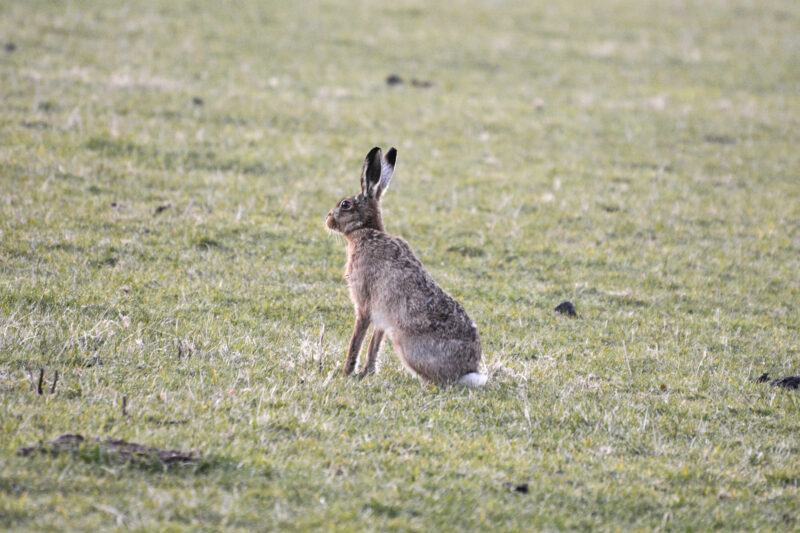
Elsdon was once a very important settlement in the area and you can still see the earthworks of Mote hill, as well as a Motte and a Moot, all relics of fortifications and places for trade and gathering. After setting off on the road signed Newcastle (don’t panic, you’re not going that far) you’ll climb Gallow Hill where you can look down on miles of the surrounding landscape. Watch for scattering hares and copper butterflies as you walk through the fields, with little to trouble you except a gentle climb and the occasional rutted farm track. Before you leave or after you get back to the village, be sure to investigate the 12th Century Church, said to hold many of the dead from the Battle of Otterburn in 1388. You could also take a look at The Bird in Bush Inn, although for less purely historical reasons.

Barrow Burn Walk (CENTRAL)

Start/endpoints: Wedder Leap National Park Car Park

Barrow Burn Walk (CENTRAL)

Start/endpoints: Wedder Leap National Park Car Park

Distance: 5.5mi, elevation: 823ft, difficulty rating: 3/5

Start/endpoints: Wedder Leap National Park Car Park

This walk, in one of the wildest parts of the park, has a little bit of everything. The challenging but rewarding route passes through moorland, green hills and quiet woods, with remarkable views across the Cheviots every time you crest a ridge or find a gap in the trees. The climb might be tricky for some and the ground can get muddy, but navigation is simpler than you’d imagine, with well-worn forest tracks and footpaths to follow. You might not pass as much history as on some hikes and there’s no neatly placed halfway pub, but this is the quiet heart of Northumberland National Park and you’ll find yourself marvelling at the blissful peace.

Hedgehope Hill via Langlee and Long Crags (NORTH)

Start/endpoints: Roadside parking near Langleeford

Hedgehope Hill via Langlee and Long Crags (NORTH)

Start/endpoints: Roadside parking near Langleeford

Distance: 11mi, elevation: 2343ft, difficulty rating: 4/5

Start/endpoints: Roadside parking near Langleeford

Make no mistake (certainly not with your weather checks, gear or navigation) this is a proper hike. There’s a lot of climbing, trackless sections and even rock scrambling, if you’re determined to make it right to the very top. For all that, you start off crossing a burn on a lovely old wooden bridge, following mossy walls as you begin to ascend. As you cross Housey Crags and Long Crags, you can often see Lindisfarne Castle in the distance, while the hills and rocky peaks roll out for miles around you. Once you’ve reached the top, you can come back exactly the same way or veer off towards Harthope Linn waterfall, then follow the stream back to where you started.

The Cheviot from Long Crags © Jessica Davison

Windy Gyle (NORTH)

Start/endpoints: Car park near Barrowburn

Windy Gyle (NORTH)

Start/endpoints: Car park near Barrowburn

Distance: 7.5mi, elevation: 1500ft, difficulty rating 3/5 

Start/endpoints: Car park near Barrowburn

Considering the elevation gain, this is an easier hike than it might first appear. From the car park, you simply follow a track past Shorthope Hill then begin a slow, steady ascent with decent footing, all the way to the top of Windy Gyle. Once there, you’re treated to stunning views and the rare chance to hop between countries in a single bound, as the fence near the summit marks the border between England and Scotland. Of course, something about the name suggests that you might not be hanging around on the peak of Windy Gyle for a picnic. There’s a handy depression in the ground where a few people can shelter, but this isn’t a place to set out a fine spread unless you want to be chasing your food downhill.

Other things to do

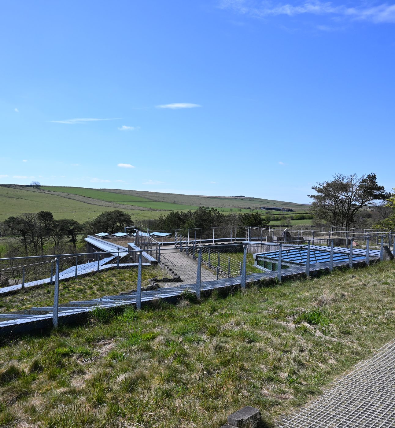
The whole of Northumberland National Park and most of Kielder Water & Forest Park became England’s first International Dark Sky Park in 2013, a designation awarded by the International Dark Sky Association. While you can stargaze very happily on your own almost anywhere within its boundaries, the boxy and brilliant Kielder Observatory hold some great night time events and their new observatory facility, The Twice Brewed Inn, in the south of the park near Bardon Mill combines dining and drinking with stargazing sessions, so you end up lying back and staring up at the heavens for two reasons.
You might come across one of the pieces that make up the diverse collection of Kielder Art & Architecture as you explore the landscape around the enormous reservoir. Some of them are actually quite hard to miss. There are around 20 (a few installations come and go, or open and close) constructions scattered across 16 square miles, from the angular structure of 55/02 to the gleaming silver Janus Chairs, a massive face in the woods and even a playable mini golf course inspired by old area maps. Walking among them, on them and even in them is a fabulous experience.
Yeavering Bell is a twin-peaked hill near Wooler on which sits the remains of an Iron-Age hill fort of impressive size. Sections of the stone wall that once enclosed the 12-acres site are still clearly visible, along with an inner fortification and more than 100 platforms where timber houses would have stood. It’s a decent climb, and you can’t help but wonder about the sheer determination to build in stone at such a height. If you’re lucky, you might meet the resident herd of wild goats that still graze in the surrounding area. The breed was thought to have been brought to the country in neolithic times, then turned loose when sheep began to be favoured instead. The hardy creatures simply carried on chewing.
If you’ve just been up Yeavering Bell and it’s whetted your appetite for a dive into the history of the area, then head over to Ad Gefrin, the Anglo Saxon Museum. The collection housed there contains an incredible array of finds from the north east and particularly Yeavering, the summer residence of Anglo Saxon kings and queens in the 7th century. For reasons not immediately apparent but perfectly waivable given the outcome, there’s also a distillery on site, producing a single malt whisky and a fine gin. The tours, tastings, dining experiences and even story journeys on offer add a spirited dimension to a day of history and culture.
The multipurpose arts centre near Hexham is a great place to keep an eye on for events while you’re in the area. The charity which runs the centre is a community-led force for good which has been supporting local artists, musicians and programmes of all sorts since 1983. You might find pop-up craft workshops, storytelling sessions and more that’s great for kids, as well as lively music nights and art exhibitions that celebrate the surrounding natural beauty.
Ever efficient and concerned with their cultural legacy, the Romans founded this museum shortly before they retreated from Britain at the turn of the fourth/fifth century. Well, not really, but by the time you’re dressed in full armour, standing in a yurt or learning a little archery, you’ll feel as if they might have done. Discover everything about how the Roman army lived, ate, fought, built walls and eventually ran away!

DID YOU KNOW?
Northumberland National Park is the least populated of all the UK’s National Parks, with around 2,000 permanent residents in an area of roughly 400 square miles - only five people per mile. For context, the South Downs is relatively stuffed, at 183 people per mile!

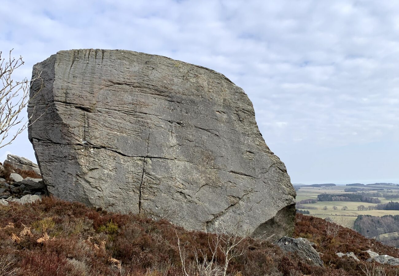
The Drake Stone © Jessica Davison

DID YOU KNOW?
After the famous tree was illegally felled in 2023, the National Trust’s Plant Conservation Centre has cared for new shoots and saplings. Now each of the UK’s 15 National Parks has been gifted a “Tree of Hope” sapling as symbols of nature recovery and shared stewardship for the landscape.

A quick history lesson

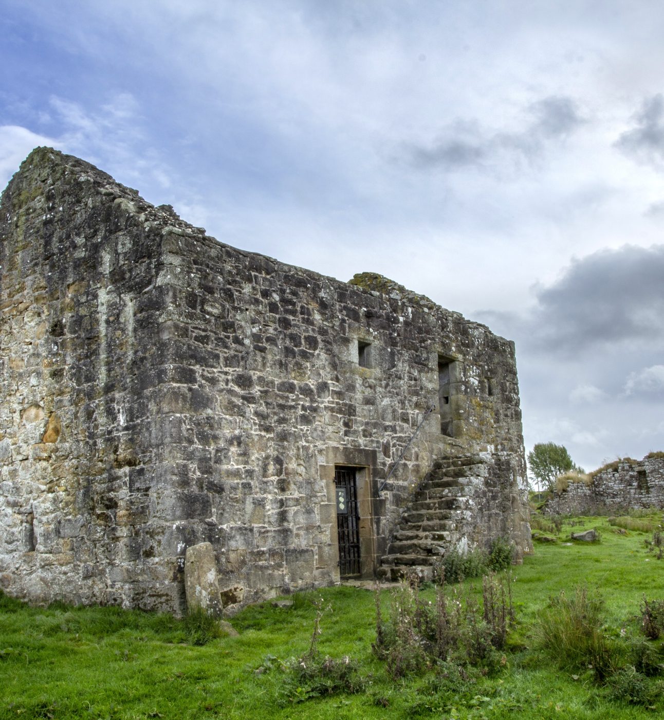
Despite its famous wall and its place in large-scale clashes of nations and cultures, many of the remains of fortifications you’ll see in the park were built during the period when Border Reivers, a term first coined by Walter Scott, robbed and pillaged across the land. Reivers (meaning raiders, via an old English word for rob or plunder) were groups often organised along family lines, who emerged in the embattled period from the 14th century to the 17th century. During this time, constant skirmishes between Scottish and English forces made farming untenable and reiving became the only way to survive. Of course, reiving itself then caused more instability and the cycle continued. English raided Scots, Scots raided English and they both raided their own in a vicious cycle that led to some considering the rebuilding of Hadrian’s Wall. Eventually, James VI and I enacted a brutal suppression of reivers and brought the borders, if not under control, then certainly to a less destructive state. If you want to make a dedicated trip to see a piece of reiver era history, try Woodhouses Bastle (not a typo for castle, in case you were wondering) a fortified farmhouse that shows how terrifying a time it must have been to live through. It’s tempting to wonder if so much devastation for so long is one of the reasons that the park is sparsely inhabited to this day.

DID YOU KNOW?
It’s highly likely that Hadrian never even saw his own wall. While he did make his single visit to Britain in AD122, the wall’s construction certainly wasn’t completed until years later. Perhaps he laid a foundation stone, gave orders for the rest of the work and left for other frontiers, never to return.

Hadrian's Wall © Daniel Kay

Planning your visit

Three major roads divide the National Park into three roughly equal sections and thus define the main transport links. On the most southerly, Hexham and Haltwhistle are the major entry points, by the central route you’ll most likely stop in Otterburn and to the north, Wooler is the largest town. A rail service runs to/from Newcastle, serving the south edge of the park very well, passing through Hexham Bardon Mill, Haydon Bridge, Wylam, Prudhoe, Stocksfield, Riding Mill, Corbridge and Haltwhistle. For unlimited bus travel at a very reasonable price, valid on most services into the park, take a look at Network One’s travel passes. The Hadrian’s Wall Country Bus (route number AD122, just for fun) is also a handy way to get to some of the park’s most scenic spots.
Northumberland’s sparse population is a blessing and a curse, but mostly a blessing. It means some wonderful landscapes with unbroken nature stretching for miles, some wild trails and the possibility of feeling genuinely off road for a while. It does, however, mean there isn’t a pub or a farm shop around every corner, so if you’ve got some people in your group who get a little hangry now and then, make sure you know where your next meal is coming from, because winging it might not be very successful.

Back to all National Parks


Main image: Hadrian’s Wall © Daniel Kay