North York Moors National Park

Designated on 28 November 1952

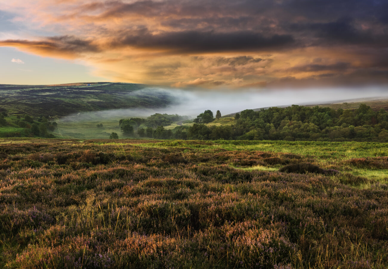
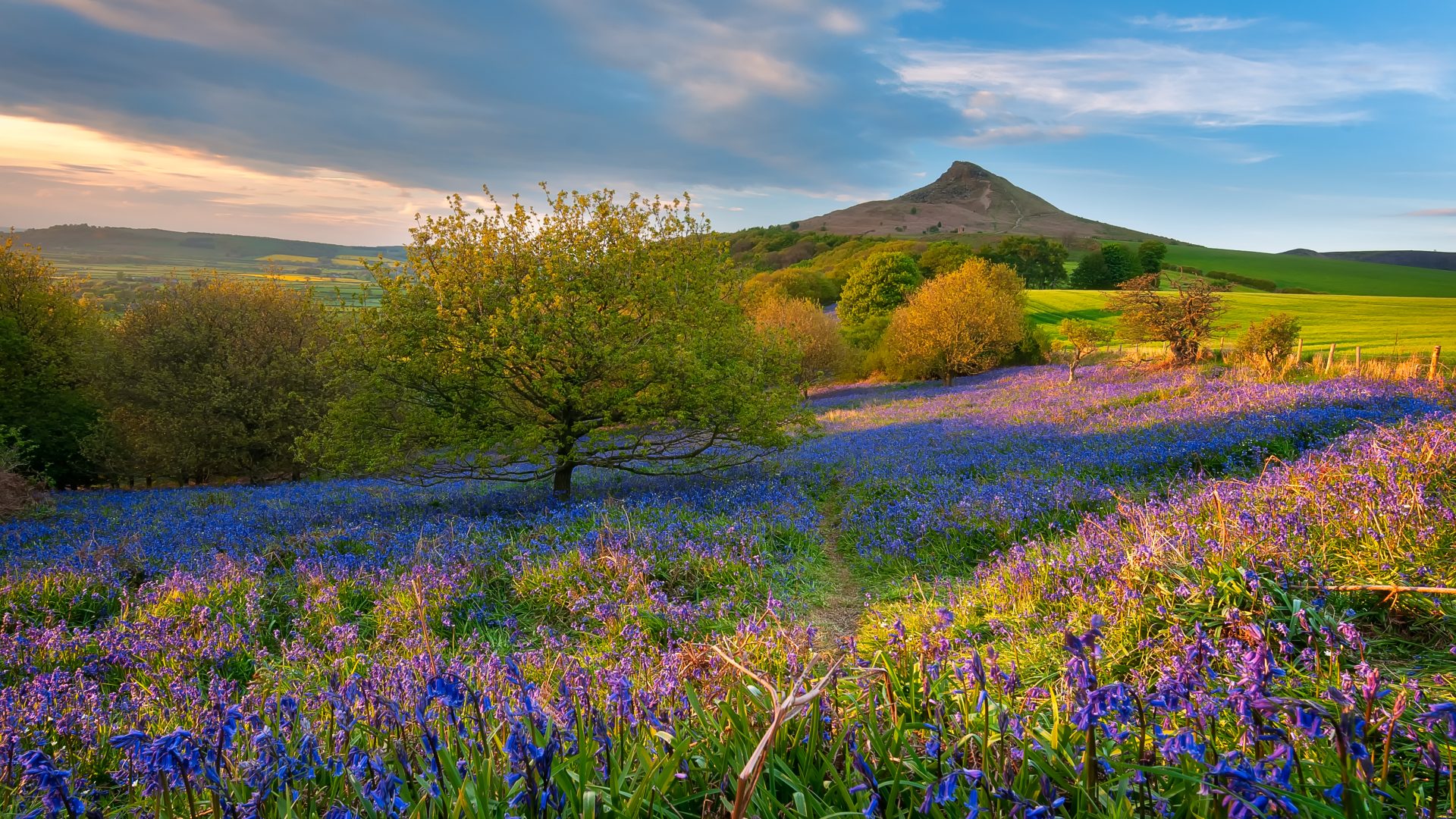
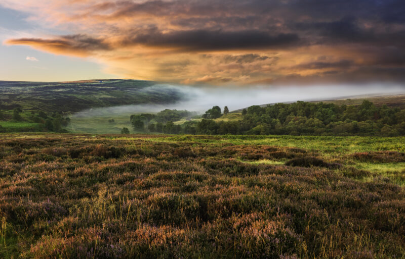
The North York Moors National Park is at once wild and gentle, with heather-covered hillsides rolling down to an often stormy sea. It’s a land of iron and a land of water, a place of remote farms, crashing falls, old railway lines and the faded tracks of pilgrimages to ruined abbeys.

In this guide, we’ll take a look at everything from easy strolls among broken columns and grand circular hikes, from sea life spotting trips to historic railways, and from simple farm shops to world-renowned fine dining. All of it linked by a solid grounding in the soil of the moors.

Walking

North York Moors

The Cleveland Way (EAST)

Start/endpoints: Robin Hood’s Bay/Scarborough

North York Moors

The Cleveland Way (EAST)

Start/endpoints: Robin Hood’s Bay/Scarborough

Distance: 12mi, elevation:980ft, difficulty rating 3/5 

Start/endpoints: Robin Hood’s Bay/Scarborough

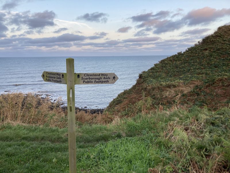
This enormous hiking route covers 109 miles, going from the south west corner of the park, to its most northerly point and back down the eastern edge. It was the second walk ever to be marked by the distinctive acorn symbols of the UK’s National Trails (The Pennine Way, in case you were wondering). The section between Robin Hood’s Bay and Scarborough is well served by public transport, making it easy to walk out and bus back whichever end you start from. It also gives you some lovely views, with the sea on one side and the moors on the other, as well as a waterfall stop at Hayburn Wyke, where an inn of the same name might also tempt you to linger for a while. 

Rosedale Abbey Circular (Centre)

Start/endpoints: Rosedale Abbey village

Rosedale Abbey Circular (Centre)

Start/endpoints: Rosedale Abbey village

Distance: 7.5mi, elevation:520ft, difficulty rating 3/5 

Start/endpoints: Rosedale Abbey village

With some moderate climbs, tricky footing through fields and definite mud potential, this is a moderately challenged hike for its distance, but it gives you great views of the moors and a mini tour of the area’s industrial history as compensation. Don’t waste time looking for the village’s eponymous abbey (a Cisterian priory that no longer exists) but hit the road either north-east or north-west, depending on the weather. The route runs along an old railway line that follows a pretty exposed ridge, so if it’s nice when you start, consider going out that way instead of coming back along it. You’ll also pass the ruins of the giant kilns where miners “roasted” the iron ore they’d extracted, tipping it in from the high railway line and burning it to remove impurities. Before you set off, or after you’re back, prepare/reward yourself with a trip to Abbey Stores, the village shop and tea room at the heart of scenic Rosedale.

The Wainstones (West)

Start/endpoints: Chop Gate village

The Wainstones (West)

Start/endpoints: Chop Gate village

They say that if you stand and listen on a breezy day, you can sometimes hear the wind moaning and sighing through the fissures of the imposing Wainstones, a series of sharp sandstone crags that break the smooth skyline of the moorlands. You might also hear hikers doing a bit of moaning of their own now that they’ve made it to the high point of this up-and-down walk. The route crosses some occasionally boggy moors but is well marked and won’t challenge your navigational skills, as it even picks up the Cleveland Way for a short stretch across the top of the loop. Once you’ve listened for the wind and clambered back down, the garden of The Buck Inn, a short stroll from the trailhead, is a lovely place to find a bench and a beer.

River Esk

Grosmont to Whitby (EAST)

Start/endpoints: Whitby

River Esk

Grosmont to Whitby (EAST)

Start/endpoints: Whitby

Given that the village of Grosmont was nothing more than a single farm until the Whitby to Pickering railway began to be built in the 1830s, it’s no surprise that this is a perfect walk for getting a train out and hiking back. This 8-mile route is actually the final section of the full 37-mile Esk Valley Walk, but it gives you a flavour of the whole thing and is much easier to pick off in a short trip. You’ll follow the river and the railway line along bridle paths which can sometimes get muddy, there are occasional darts onto the road and a couple of railway crossings, so it does have its hazards, but you aren’t likely to get into the same kind of difficulty you’d find walking wild into the mountains. It’s fun to think, as you plod along and hear the trains whistling past, that when the line was first built the carriages were pulled by horses.

The Rievaulx Loop (South)

Start/endpoints: Rievaulx Abbey

The Rievaulx Loop (South)

Start/endpoints: Rievaulx Abbey

Distance 2.5mi, elevation: 280ft, difficulty rating: 1/5 

Start/endpoints: Rievaulx Abbey

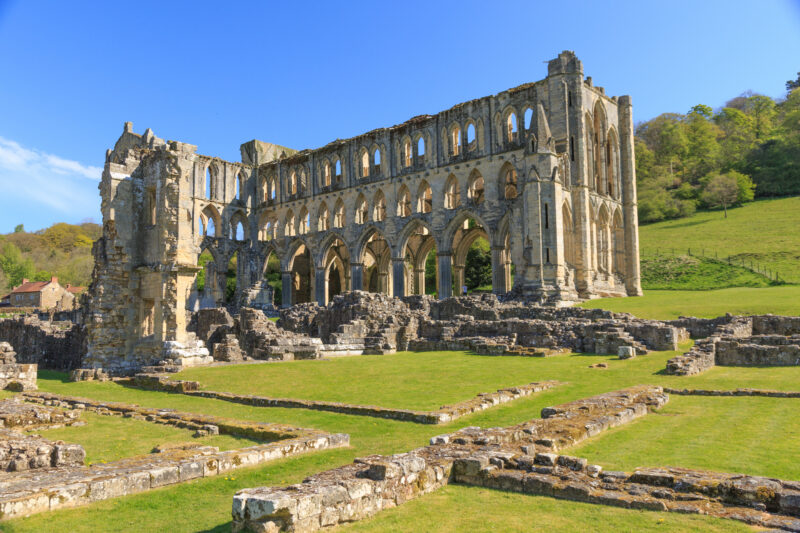
In 2019, the Ryevitalise Landscape Partnership Scheme was created to, if you couldn’t guess, revitalise the landscape around the river Rye as it flows through the North York Moors. This involved the creation of six new walking routes, of which the short and simple Rievaulx Loop is one. You can get to the start on the M4 bus from Helmsley and take a look round the abbey ruins before you trek off into the surrounding woodlands and meadows. There are no steps or stiles on the walk, and although some of the climbs might be testing for some, it’s a pretty family-friendly couple of hours’ amble in the countryside.

Rievaulx Abbey © Emily_M_Wilson

Danby Castle Walk (NORTH)

Start/endpoints: Danby Lodge National Park Centre

Danby Castle Walk (NORTH)

Start/endpoints: Danby Lodge National Park Centre

Distance: 2mi, elevation: 230ft, difficulty rating: 1/5

Start/endpoints: Danby Lodge National Park Centre

This gentle stroll takes you around the estate at the heart of which lies Danby Castle, built by the powerful Latimer family in the 14th century. The castle itself is on private land and isn’t open to the public, but what was once a shooting lodge on the land has been turned into the National Park Centre. The walk carries you along quiet country lanes, through fields and over the Duck Bridge where its charming arch spans the river. Rather than being an all-day hike, this is more a pleasant addition to the activities on offer at the lodge and a stop at the Truffled Hog Deli & Kitchen, which makes liberal and indulgent use of both its eponymous ingredients.

Other things to do

The Moor to Sea Cycle Network is a series of trails that cover the central and eastern parts of the National Park, running on quiet roads, woodland trails and even the former railway line from Scarborough to Whitby, on the section known as the Cinder Track thanks to the rails having been originally laid on cinders and clinker rather than the more common crushed stone. Every mile of the network is waymarked with cycle route signs and arrows, so you can spend a few easy days buzzing around the park on two wheels, especially if you rent an electric bike.
Obviously the National Park boundaries don’t extend into the sea, but if you’re based on the coast, you may as well explore the full breadth of the wildlife watching that the area offers. Porpoise, minke whales and even humpbacks have all been spotted on tours in late summer, while year round an incredible array of birdlife calls the region home. Yorkshire Coast Nature run a variety of trips, as do Fins, Feather and Fish.
The lodge makes a great base for nearby hikes, but is also the sort of place you can lose an afternoon quite happily, especially if you have kids. There’s an art trail, an adventure playground and Land of Iron, an interactive museum that charts the park’s industrial history with an engaging suite of displays and games. Handily, there are also two great places to eat – The Truffled Hog and Into the Wilde, the latter providing activity sheets and stories to keep the little ones happy while you relax.
The sparsely populated expanse of the moors makes it perfect for observing the wonder of the night sky, but you don’t have to go it alone. Join one of Astro Dog’s public events and get the benefit of their professional gear and extensive knowledge.
Not only is this a chance to ride an old steam train, it’s also a great way to get to Grosmont from Whitby, meaning you can chug out and hike back along the route mentioned above. The line is operated by a charity who lovingly maintain the engine and, as well as simple travel, provide a range of dining packages and events on board, so it’s always worth checking the calendar. If you’re a real train lover, you can even book a train driving experience.
This ancient and impressive abbey has been home to an order of Benedictine monks since 1802 and you’re even welcome to join them for daily Mass. Even if you don’t go for the service, the grounds are a lovely place to wander, with a tea room for refreshments and the seemingly standard monastery presence of some form of alcoholic production – in this case the famous Ampleforth Cider. The orchards are free to wander and the mill itself sometimes has tours and events running.
While in a state of some disrepair, especially in comparison with Ampleforth, Rievaulx is still an interesting stop, with an on-site museum that charts the lives of the monks who lived there and the destruction of the abbey on the orders of Henry VIII. The ruins are also the start point for several lovely hikes in the area, with a cafe to come back to once you’re done exploring.

Did you know?
Adding to a stone cairn after you’ve climbed to a viewpoint is a lovely thing to do, tying you into the story of all the people who’ve set foot in the same spot. But the construction of cairns has been known to damage monuments and burial mounds, so take care where you cairn!

A quick history lesson

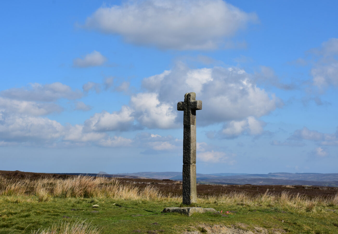
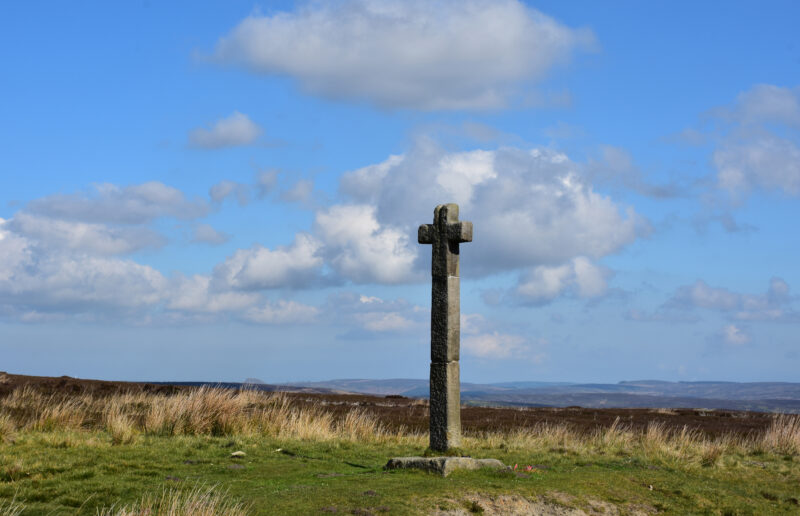
Before you go searching lists of saints, kings or possibly prime ministers for Ralph the Younger and Ralph the Elder, we’ll do the best we can here to explain the name of the monument which became the National Park’s emblem. The most common legend for the stone cross known as Young Ralph is that some time in the 11th century, a farmer of that name erected it by the roadside on the spot where he discovered the body of someone who had starved to death. The cross was said to have a hollow which allowed travellers to leave coins to be recovered later by anyone who needed them. Knowing his audience, Ralph put the hollow on the top, so that people on horseback wouldn’t have to go to the trouble of dismounting. Whether or not old Ralph was erected by the same farmer at another time, Young Ralph’s father, or a completely unrelated Ralph, is unknown. Whatever the details of the truth, it’s somehow fitting for a place as tough and simple as the moors that its emblem is not a homage to a great noble or religious personage, but a farmer just trying to do right by everyone.

Did you know?
The North York Moors is home to around 800 Scheduled Monuments and 1,500 ancient boundary stones and crosses, including Young Ralph Cross, which was used as the National Park’s logo. You’ll see it by the roadside if you’re driving on the Blakey Ridge road, right down the middle of the park.

Planning your visit

Coming from the south, it’s most likely you’ll go through York and on to Pickering or Scarborough. From the north, Whitby via Middlesborough is the main entry point and in the west it’s Thirsk, served by the Grand Central from London.
There are a couple of rail services that run into the park, aside from the heritage railways. The Esk Valley railway runs from across the northern edge of the park , between Whitby, Pickering or Middlesbrough but nothing which goes from north to south.
The Moorsbus service operates summer services across the moors as well as into the Park including from Middlesbrough, Thirsk and York, although it only operates on Weekends and Bank Holidays.  The Coastliner 840 bus runs through the Park from Leeds and York, stopping at various places within the Park including Pickering, from which you can connect to the North York Moors heritage railway. It’s often voted Britain’s most scenic bus route.
The official North York Moors Outdoors, created by the Park authority, can help you get around and find things to do and see.

Back to all National Parks


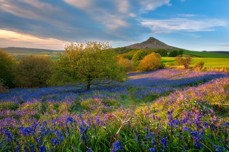
Main image: Roseberry Topping © mariotlr