Crib Gogh, Eryri

Eryri (Snowdonia) National Park

Designated on 18 October 1951

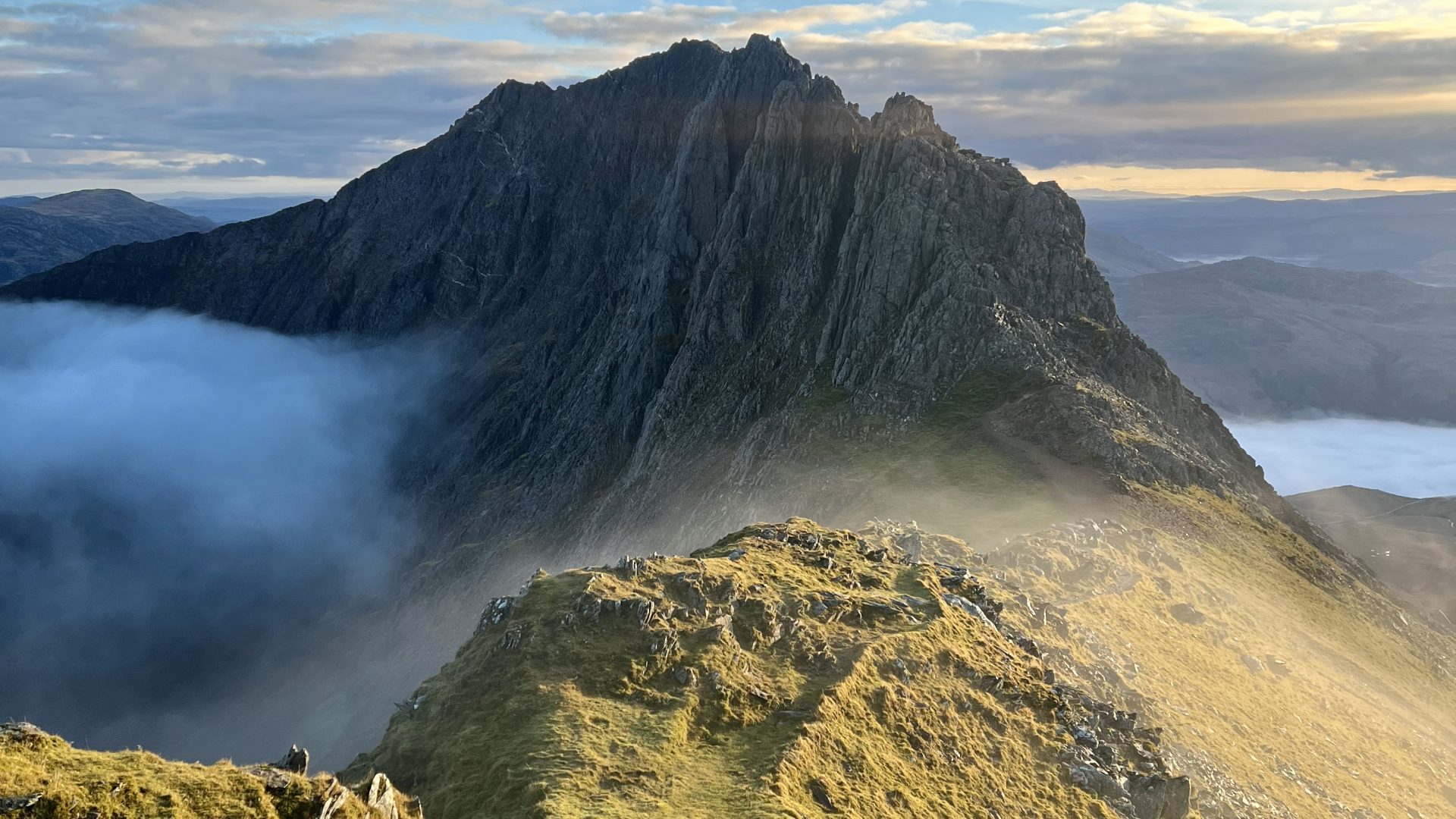
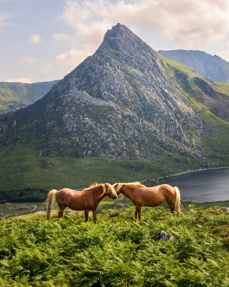
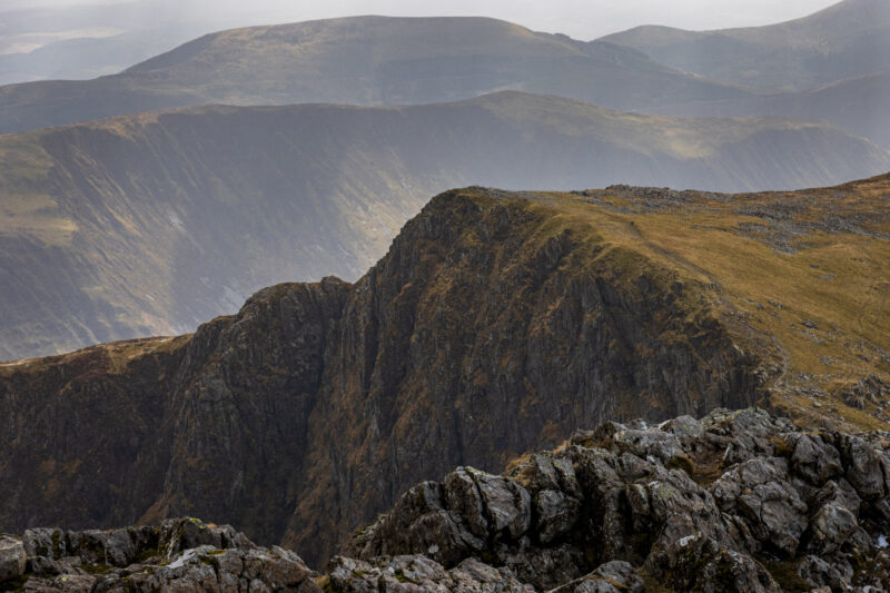
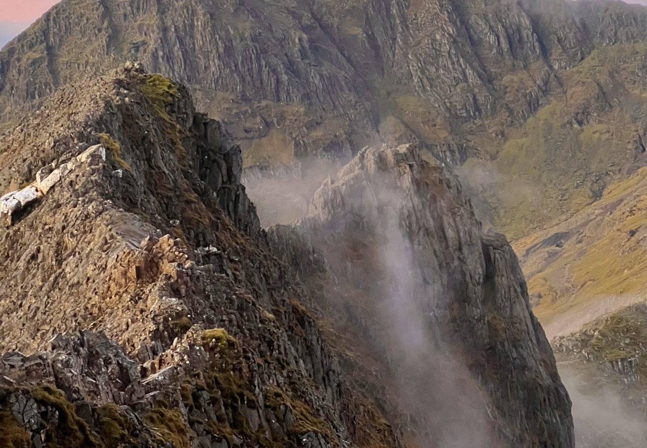
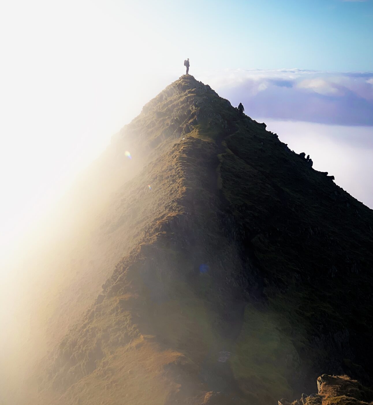
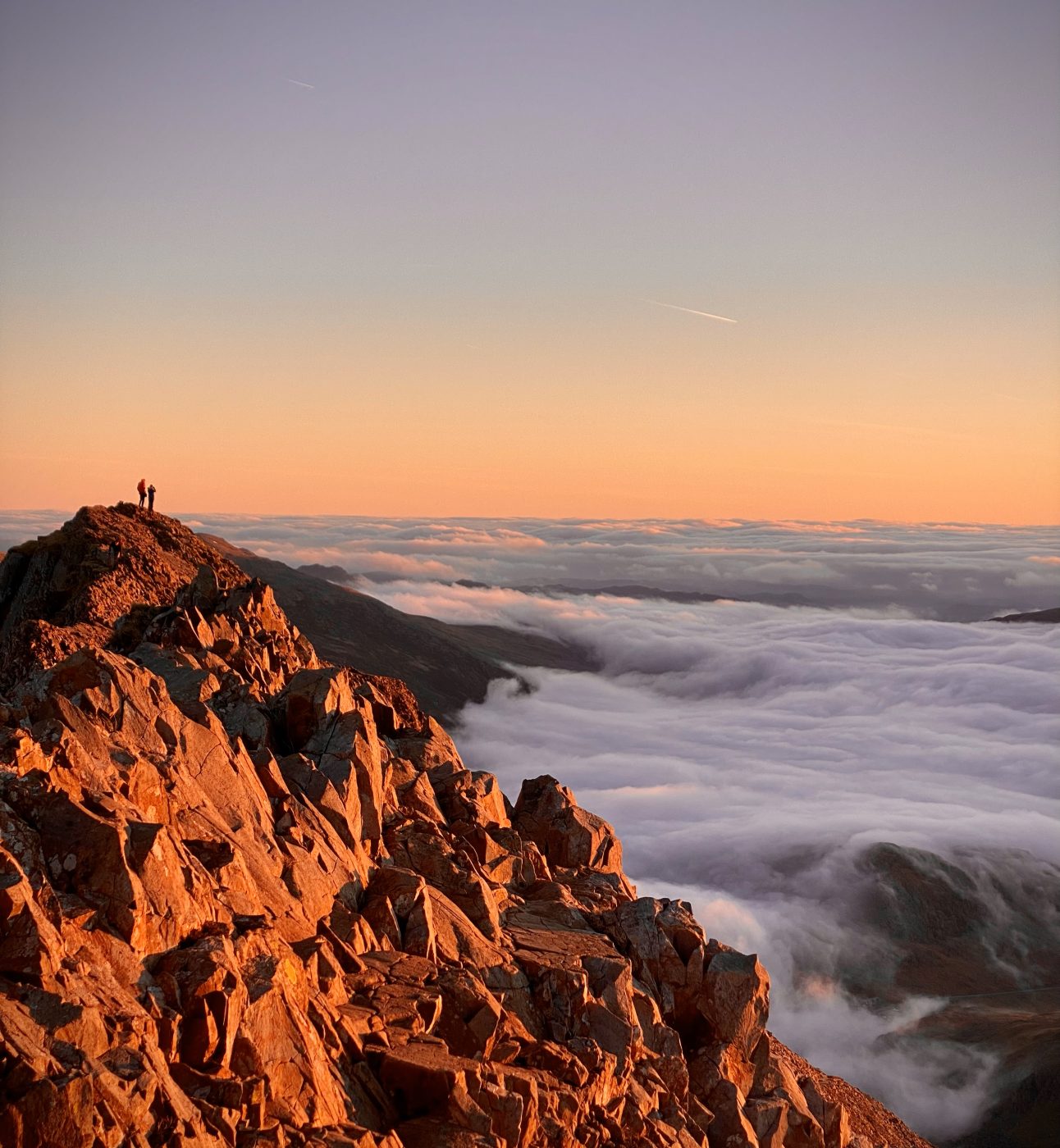
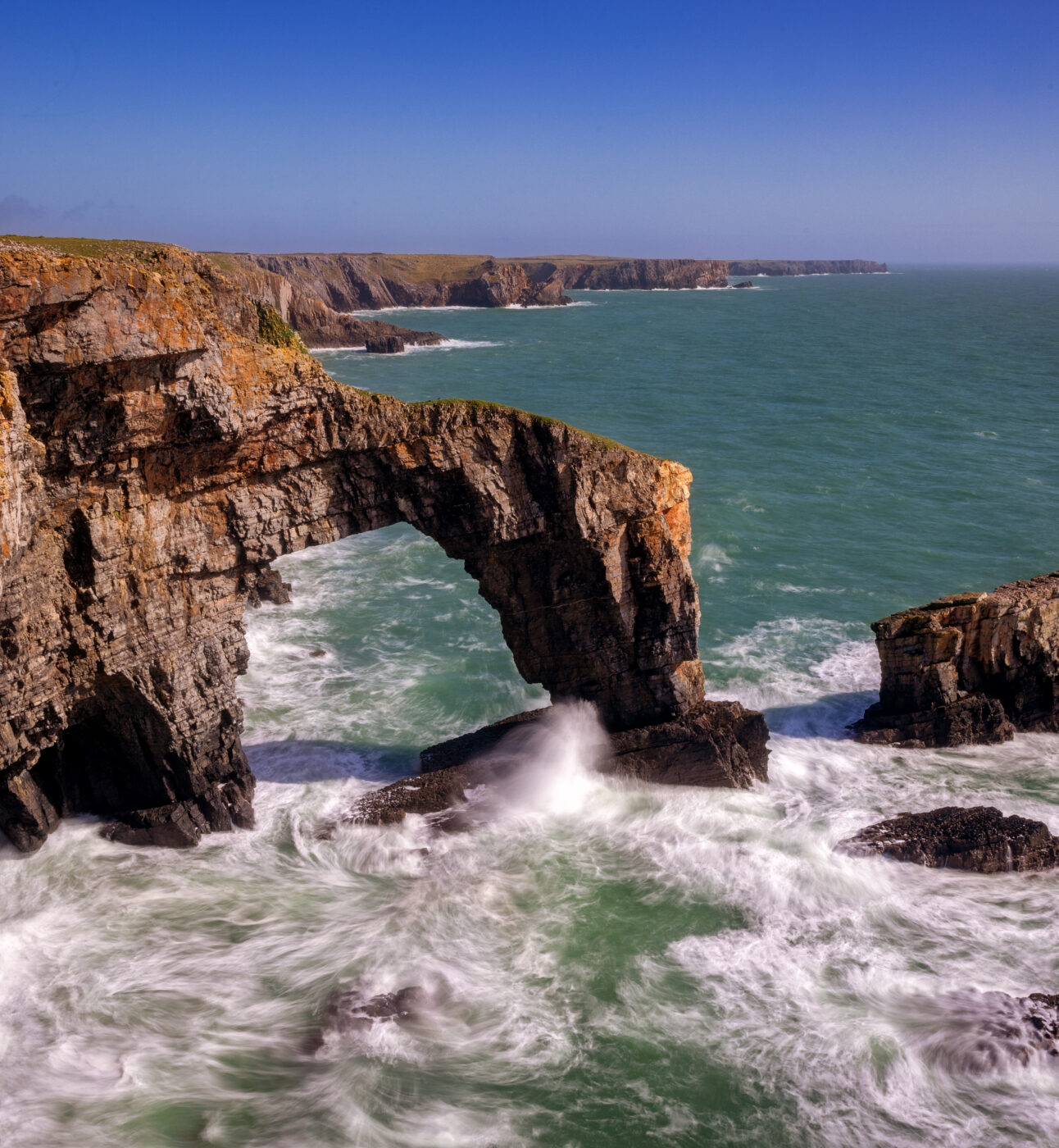
Shaped delicately for millenia by the forces of nature, then transformed in centuries by the slate industry and agriculture, Eryri is a living tapestry of human history and natural beauty. It’s a stronghold of Welsh language and culture, a destination for hikers and seekers of solitude. It contains nine mountain ranges, 15 peaks over 3000ft and everything from whisky distilleries to miniature sculpture gardens scattered among its craggy valleys.

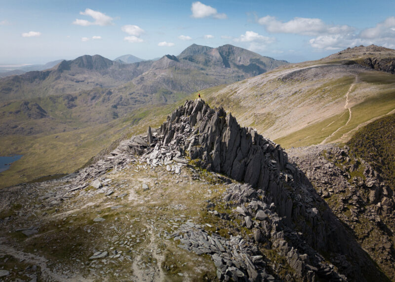
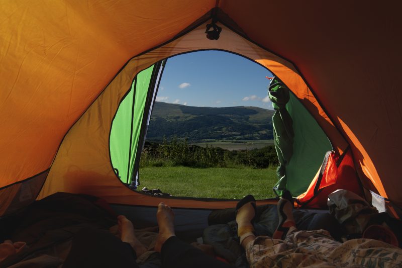
As the third National Park to receive the designation in the UK, it has been visited for years, but beyond the popular Yr Wyddfa with its leg-sparing train, are swathes of wild and rugged countryside where comparatively few people tread. In this short guide, we’ve put together some walking routes, eateries and stories to help you plan a visit to Eryri and dive deep into the past, from ancient cairns to ethereal quarries, while sampling some of its thriving present in community pubs and foodie towns.

Walking

THE SLATE TRAIL (NORTH)

Start/endpoints:Parc Meurig, Bethesda

THE SLATE TRAIL (NORTH)

Start/endpoints:Parc Meurig, Bethesda

Distance: 11mi elevation: 780ft   difficulty rating: 4/5 

Start/endpoints:Parc Meurig, Bethesda

The full length of the 83-mile Snowdonia Slate Trail, created in 2018, might be a little more than you feel like taking on, so chalk off a section of it with an easily accessible northern leg from Bethesda. The hike to the lovely little town of Capel Curig takes you past the ethereal landscape of the old Penrhyn quarry, one of the many slate mining sites that have shaped Snowdonia. As you head south and east, you dip into the bowl of the Nant Ffancon valley, before passing between the peaks of Pen yr Ole Wen and Tryfan, which loom on either side of you like sentinels guarding the path. You can make this route an out-and-back by turning round whenever you’re halfway through your supply of Welsh cakes, but if you time it right, you can idle through the whole 11 miles and catch the bus from Capel Curig back to Bethesda. Sunday service is slightly reduced of course, but there’s an evening run at around 7pm.

Image: Tryfan © Marc Lock

THE GLYDERAU (NORTH)

Start/endpoints: Dyffryn Ogwen car park

THE GLYDERAU (NORTH)

Start/endpoints: Dyffryn Ogwen car park

Distance: 6mi Elevation: 2,425ft Difficulty rating: 4/5

Start/endpoints: Dyffryn Ogwen car park

While this isn’t a long walk, it’s a challenging one thanks to the climb and some tricky footing, which isn’t surprising given that “Glyderau”, a term for the linked peaks the route takes in, derives from a word meaning “heap of stones.” It’s also not very clearly marked, so definitely one for the more experienced mountain hiker. The reward for all the climbing and scrambling though, is to find yourself in a remarkable setting, where jagged rocks erupt from ridges in dramatic formations, including the much photographed and surprisingly not man-made cantilevered stone. The circular walk brings you back down along the lower slopes of Tryfan, past the water of Llyn Bochlwyd, with the land shading back into colour as you leave the grey expanse above.

Image: Castell Y Gwynt © Marc Lock

GELERT’S GRAVE (CENTRAL)

Start/endpoint: Beddgelert

GELERT’S GRAVE (CENTRAL)

Start/endpoint: Beddgelert

Distance: 1mi  Elevation: none Difficulty rating:1/5

Start/endpoint: Beddgelert

Eryri may contain no fewer than nine mountain ranges, but sometimes all you want is a pleasant stroll by the river before lunch, so here’s a simple, scenic route that won’t have you reaching for your compass and laminated maps. A wide, level footpath runs out of the village Beddgelert past the Church of St Mary, said to have been built incorporating parts of a 13th-century Augustinian priory that stood on the site. You’ll soon reach your destination, the monument to Gelert, a dog whose sad legend is to have been wrongfully killed by Prince Llywelyn, having been suspected of attacking the prince’s son when he had in fact protected him from a wolf. As you head for home, there’s a chance, which you should most certainly take, to detour for views of the gorge of Aberglaslyn Pass before you follow the path back into the village.  

DINAS OLEU WALK (WEST)

Start/endpoint: Barmouth

DINAS OLEU WALK (WEST)

Start/endpoint: Barmouth

Distance: 1.5mi  Elevation: 840m Difficulty rating 2/5

Start/endpoint: Barmouth

Alongside the industrial heritage of the park lies another piece of history – the first piece of land ever donated to the National Trust. In 1895, Fanny Talbot, a friend of the Trust’s founders, made the momentous decision to secure 5 acres of her land above Barmouth for posterity and the public. Thankfully, after climbing up to that tiny initial patch, you’re now looking down on extensive National Trust lands and vast swathes of Eryri, all protected and preserved. The walk itself is short but steep, winding up through the town to the crest of the hill, with the coastal location giving you fine sea views, a rare treat on Eryri’s popular walks, most of which are further inland. Stop for a moment at the National Trust’s centenary monument, then drop back down into Barmouth and browse the town’s range of pubs and restaurants.

CADAIR IDRIS (SOUTH)

Start/endpoint: Tŷ Nant car park

CADAIR IDRIS (SOUTH)

Start/endpoint: Tŷ Nant car park

Distance: 6mi  Elevation: 703m Difficulty rating: 4/5  

Start/endpoint: Tŷ Nant car park

Cadair Idris (meaning “Chair of Idris”) was so named for a giant who supposedly made a seat out of the mountains. It’s steeped in folklore and legend including, of course, having ties to the ubiquitous King Arthur, who would appear to have fought and died just about everywhere in Eryri if you believed all the stories at once. The views of cliffs reaching up beside you and lakes sparkling below are some of the most breathtaking in Wales, if not the whole of the UK, but it’s a thigh-burning hike to the top. The continuous climb goes over some rocky terrain, hence the high difficulty rating, but the path is easy to follow, at least visually! While you can turn this into a circular walk with a little confidence and good navigation skills, this common out-and-back route along the Pony Path doesn’t mean missing out at all. 

RHAEADR DDU (SOUTH)

Start/endpoint: Dolmelynllyn car park

RHAEADR DDU (SOUTH)

Start/endpoint: Dolmelynllyn car park

Distance: 2mi  Elevation: minimal Difficulty rating: 1/5

Start/endpoint: Dolmelynllyn car park

The beauty of waterfall walks is that they can be even more spectacular when it’s raining, or at least has been recently. If the morning’s a little wet, then a dash to the Rhaeadr Ddu waterfall would be perfect to give your afternoon a bit of magic. The path, a mix of tarmac and some rougher sections which can get tricky with mud or slippery rocks, takes you along the river Gamlan, where outcrops send the water churning and crashing down the valley. Navigation isn’t an issue, not least because in all but the driest times, you’ll hear the falls before you see them, a wonderful sight that’s always different depending on the light, time of year and conditions.

Other things to do

The sharp shards protruding from the perimeter of this Bronze Age cairn give it a strikingly modern feel and you have to wonder if the architects of the Millenium Dome visited during their design phase. The circle is around 30ft across and once featured a grave, monument or other feature at its centre. Sadly, this was removed or destroyed at some point in the 1800s, but the visible damage to some of the stones on the eastern side happened a little later, when the British Army decided to practice for defending the country by shooting at some of its most precious heritage. Reaching the circle takes a walk of just over four miles through occasionally marshy terrain, but there’s an aura to the site once you’re there which leaves you in no doubt as to why it was once chosen for such an effort of construction.
If you’ve dropped into Corris Craft Centre or are just taking a walk around the village, you might suddenly wonder why you’re looking at Venice’s Rialto Bridge, or Florence’s Duomo tucked into the plants and trees near the footpath. These miniatures are the life’s work of local residents, the late Mark Bourne and his wife Muriel, who travelled to the Mediterranean, made detailed sketches of their favourite sites, then recreated them in meticulous detail. There are thought to be more than 200 individual structures, with even a tiny replica of Michelangelo’s David somewhere in the woods.
Eryri is the only known habitat of one of the UK’s most beautiful insects, the Rainbow Leaf Beetle. In the right light, its carapace is a striped, iridescent marvel, but the colourful bug is unlikely to catch your eye easily. In 2015, a team from Liverpool Museum spent almost three days searching for the elusive creature and recorded only five sightings, so if you happen to spot one, count yourself very lucky and be very careful not to harm it. If you’re the patient and persistent type, also keep your eye out for pine martens, osprey and the red-crested pochard!
While the distillery itself sits just outside the boundary of the park, the waterfall for which it’s named is inside, so we couldn’t resist including it. The distance between the two is only around two and a half miles, meaning you can easily walk out to one lovely drop then come back to sample another. The distillery has a café and offers tours on which you’re lead past the gleaming stills as you learn all about their production process. Unusually for distillery tours, children aged 6 and up are welcome, so if your pre-teen has a thing for Madeira-casked single malt whisky, this is the place to come.
You might imagine the Snowdon Mountain Railway to be a modern creation but in fact a locomotive first rumbled up the slopes in 1896, after 14 months of laborious blasting, pick work and track laying by a team of 150 men. As the train hauls you up the narrow ridge on which it runs, you get a sense of what an effort it must have been to perform that feat of engineering in such a perilous place. Diesel trains now operate alongside rarer outings for traditional steam engines and the round trip takes around two and a half hours, with a 30-minute stopover, during which it’s traditional to hide from the fog, rain or rare blazing sunshine in Hafod Eyri, the café and visitor centre.

DID YOU KNOW?
Nine mountain ranges fall within the boundaries of Eryri. The Carneddau, Glyderau, Snowdon, Moelwynion, Rhinogydd, Dyfi Hills, Moel Hebog range, Cadair Idris range and the Aran range, with a total of 15 peaks higher than 3,000 feet between them, making it arguably the UK’s pointiest National Park.

Crib Goch © Rachel Roberts

DID YOU KNOW?
The lush habitat known as Celtic Rainforest (sometimes Atlantic or Temperate Rainforest) is thought by some to be rarer than its tropical counterpart. There are a few pockets of Celtic Rainforest in Eryri, but one of the best places to see it is next to the Coed Cymerau National Nature Reserve near Blaenau Ffestiniog, where you can enjoy a relatively level circular walk.

Penmachno © Marc Lock

A QUICK HISTORY LESSON

Eryri, or Snowdonia as it was then, is only a few months younger than the Peaks or Lakes as a National Park, receiving its designation in October of 1951, compared to April and May for its older siblings. While it’s tempting to assume that the Park’s name was something to do with Lord Snowdon, it was in fact the modernised version of the old English for “snow hill”, first recorded as Snawdune in 1095. But Eryri has always been a stronghold of the embattled Welsh language, which is spoken by 58% of the area’s population, and after much petitioning and lobbying in the 2010s, the Welsh name was formally adopted. Eryri is a remarkable tapestry of human history, both ancient and modern, from neolithic cairns to slate mines that have shaped the contours of the land, but it’s also a haven for nature. There are a staggering number of SSSIs and protected conservation areas, home to many rare species. With settlements concentrated in a few places, it offers a perfect balance of easy access and true wilderness which rewards the hardier hiker.

DID YOU KNOW?
Much of The Mabinogi, a series of ancient tales gathered from sources in the 11th, 12th and 13th centuries (probably themselves drawing on older oral traditions), is set in what would become Eryri. They follow the exploits of Pryderi, whose adventures bring him into contact with all sorts of magical characters and, of course, that relentless limelight-hog, King Arthur. Just don’t call it The Mabinogion, which was an incorrect pluralisation introduced by Lady Charlotte Guest, who curated an edition of the tales in the mid 19th century.

Ogwen Valley © Marc Lock

Plan your visit

Public transport to Eryri goes via a few main hubs – Bangor and Llandudno in the north, Machynlleth or Dyfi Junction in the south. Once inside the park, train services are reasonable, with the Conwy Valley line going pretty much straight down the middle, from Llandudno to Blaenau Ffestiniog via Bets-y-Coed. Or you can get Sherpas to help you! The Eryri Sherpa bus network links centres like Bangor, Caernarfon, Porthmadog and key visitor attractions across the heart of the Park. The Sherpa’r Wyddfa, of particular interest to most visitors, darts around the base of Yr Wyddfa, joining up the most popular walking routes.
Eryri is not only mountainous but coastal, meaning the weather can change in a moment and be incredibly severe. Even though the train up Yr Wyddfa makes it tempting to dismiss the altitude, poorly clothed visitors shivering at the top are a common sight and getting lost in the mist is a serious risk. Always take proper maps and navigation devices rather than relying on phone signal, take supplies and check, but don’t completely trust the weather forecast.
There’s no guarantee of sunshine even in mid summer in Eryri, so why not dodge the crowds and go in spring or autumn? The waterfalls will be more majestic after heavy rains and, though you might need to lace your boots up tight to prevent them being eaten by the terrain, the trails will be quieter.
Although Yr Wyddfa is the Park’s highest peak, there are no fewer than 14 others over 3000ft. If you want a wilder experience, with no cafe to spoil your quiet contemplation of the countryside, try one of those instead. Just bear in mind that the less travelled the route, the greater the risk.

Back to all National Parks


Main image: Crib Goch © Rachel Roberts